
An amazing hike awaits you in the Three Sisters wilderness. The Tam McArthur Rim Trail hike starts at Three Creek Lake and continues for around 4 miles onto the Broken Top trail. You have a clear view of Three Sisters and Broken Top at 3.5 miles. It gains an elevation of roughly 1700-1800 ft at the tallest point on the trail. It takes around 90-120 mins (times may vary) for an average hiker. The views (above) further up from the summit of an unmaintained trail are simply stunning. At an elevation of 8000 odd feet, be ready for snowfields as late as July.

You get clear views of the Three Creek Lake (above) and Mt Bachelor (below) along the trail. The trail climbs quickly, then relaxes a bit with a very gradual gradient and then steps up again.

You reach a cliff (below, visible from the lake) at 1250 feet and around 2.5 miles into the trail beyond which the trail is not maintained. I camped 0.5 mile further up from this point for a night and came across fresh cougar paw marks in the snow fields on the route ahead. Beware this is bear country.
Panorama at clarity of a 50mm fixed lens for amateurs interested in orology.
Category Archives: Hike
Lost Lake Butte Hike

South of Hood River, up by the Lost lake resort is a short but beautiful hike to what is now called the Lost Lake Butte. The hike gains an elevation of 1300 ft in 2.3 miles and takes around 60 minutes (times may vary).

It offers generous NW views of Mt Hood

Overnight tent camping has its perks.

Bachelor Mountain Hike

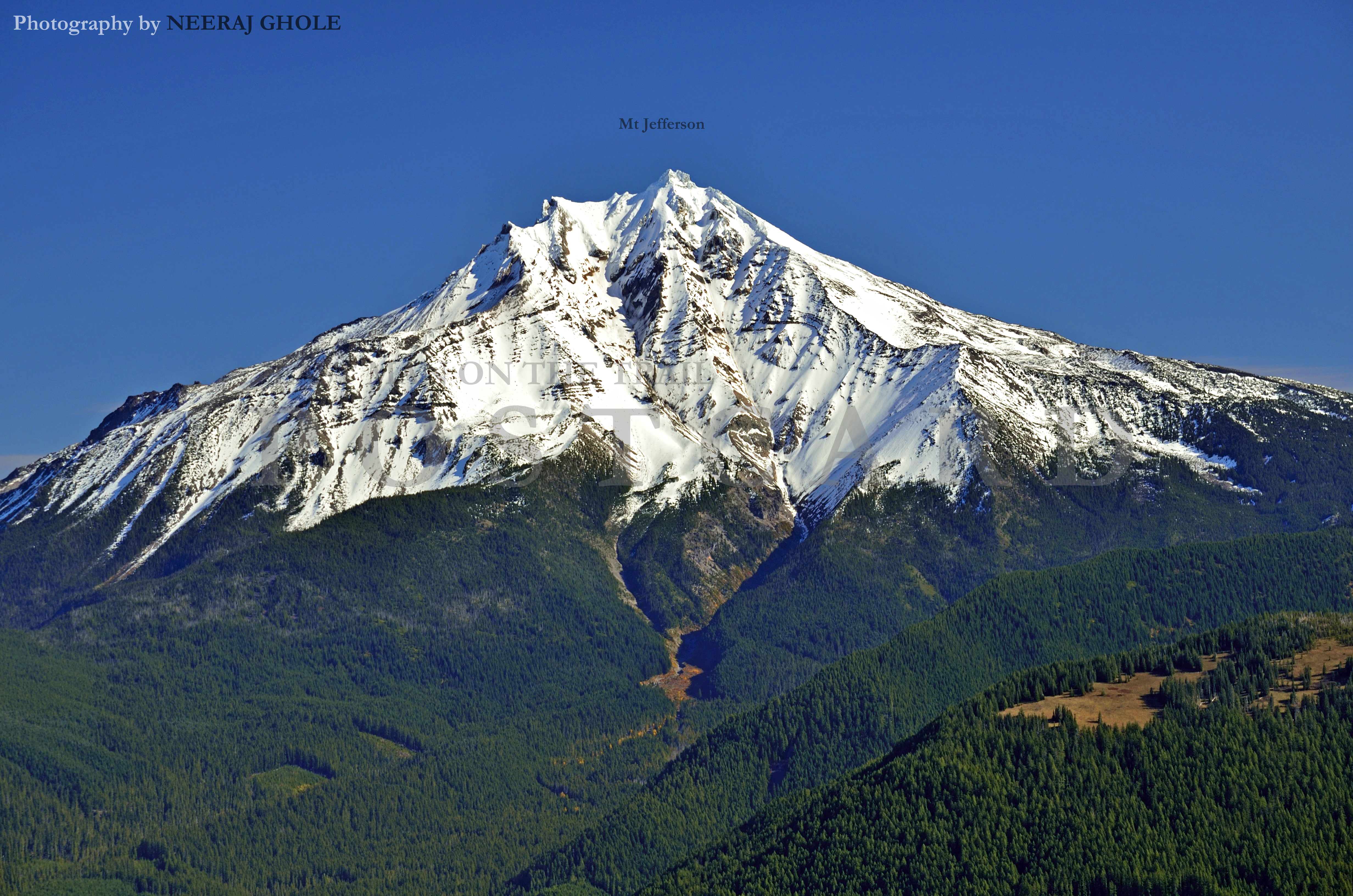
One of the best sites for overnight tent camping lies probably half way (at 0.9 miles) through the roughly 1.9 miles to the summit. You gain an elevation of 1100 ft to the summit of Bachelor mountain and may take around 45-60 mins (times may vary). You witness Mt Jefferson upclose.

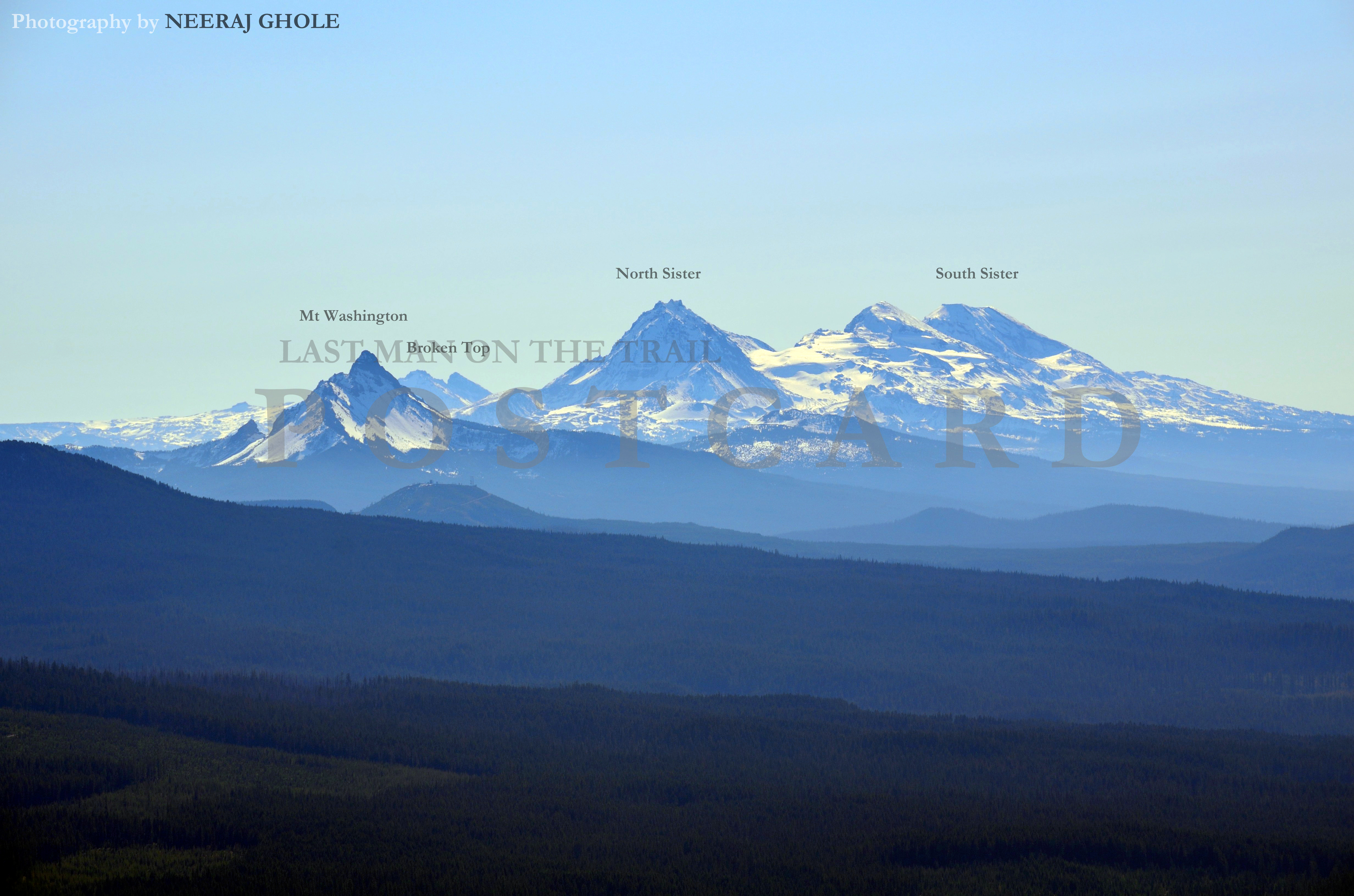
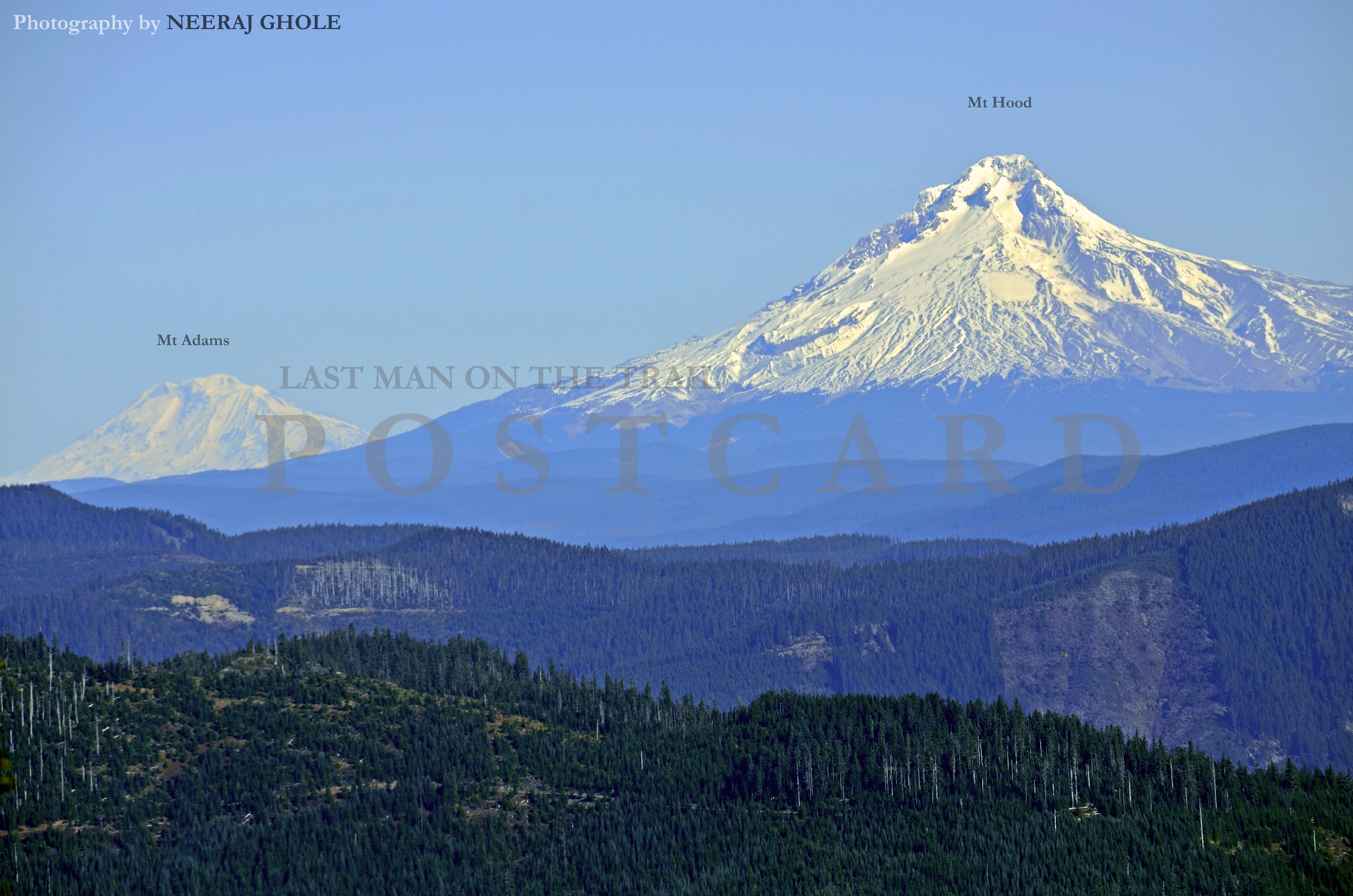
The trail offers views to the South Cascades, esp peaks to Mt Washington North & South Sisters, Broken Top, Three Fingered Jack, Mt Bachelor, as well as Mt Adams to the North.
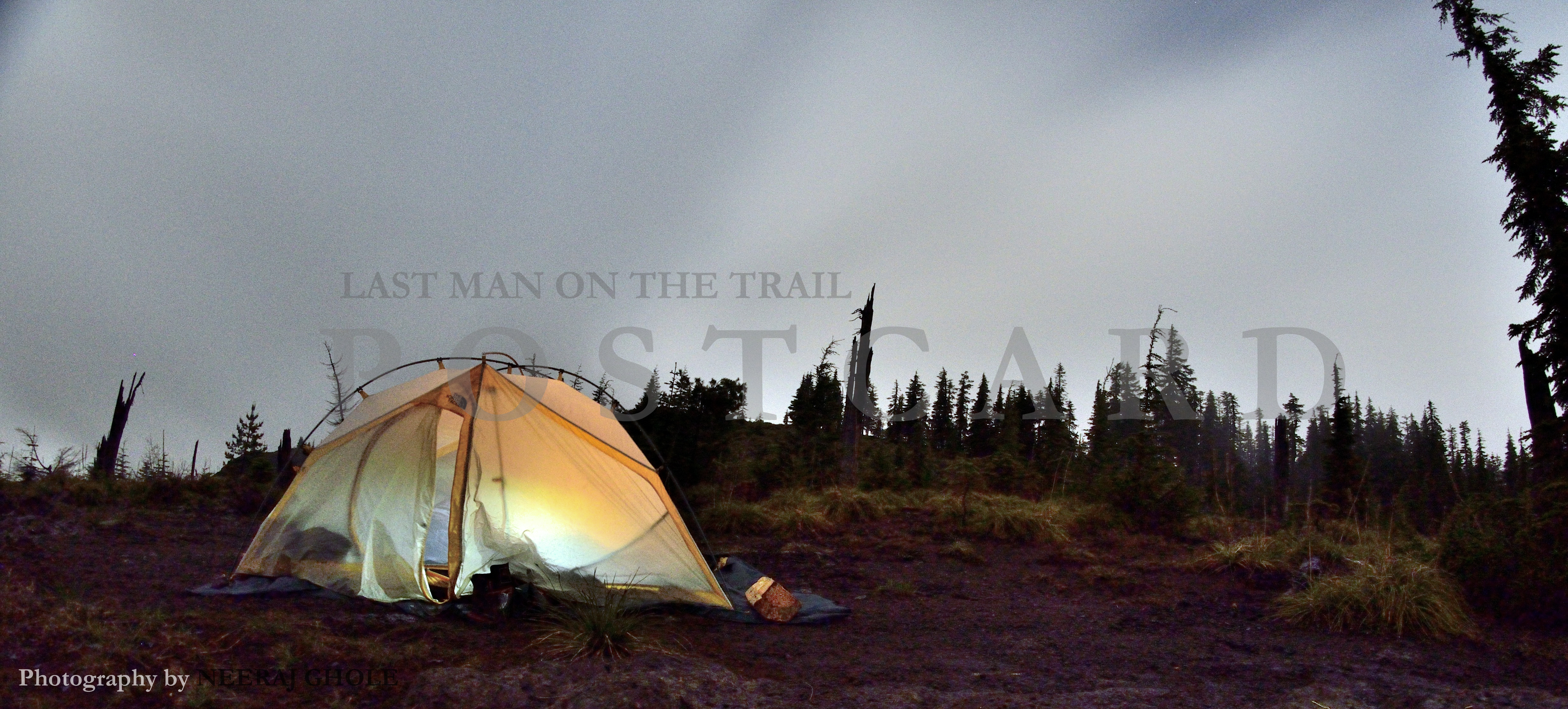
There are two ways to get to the trailhead in the Santiam wilderness and one of the ways (FR 1168/430) is simply not meant for passenger cars, or you may just be relying on your luck. The other one is gravel with potholes and uneven patches in some sections. Please do your research. I may be an exceptionally good driver to have managed to escape without a broken axle. 😉 Moonlight camping offered a pretty sight.
2014 Update: Night camping in a cloudy setting
 2016 Update: Enroute to Coffin Mountain

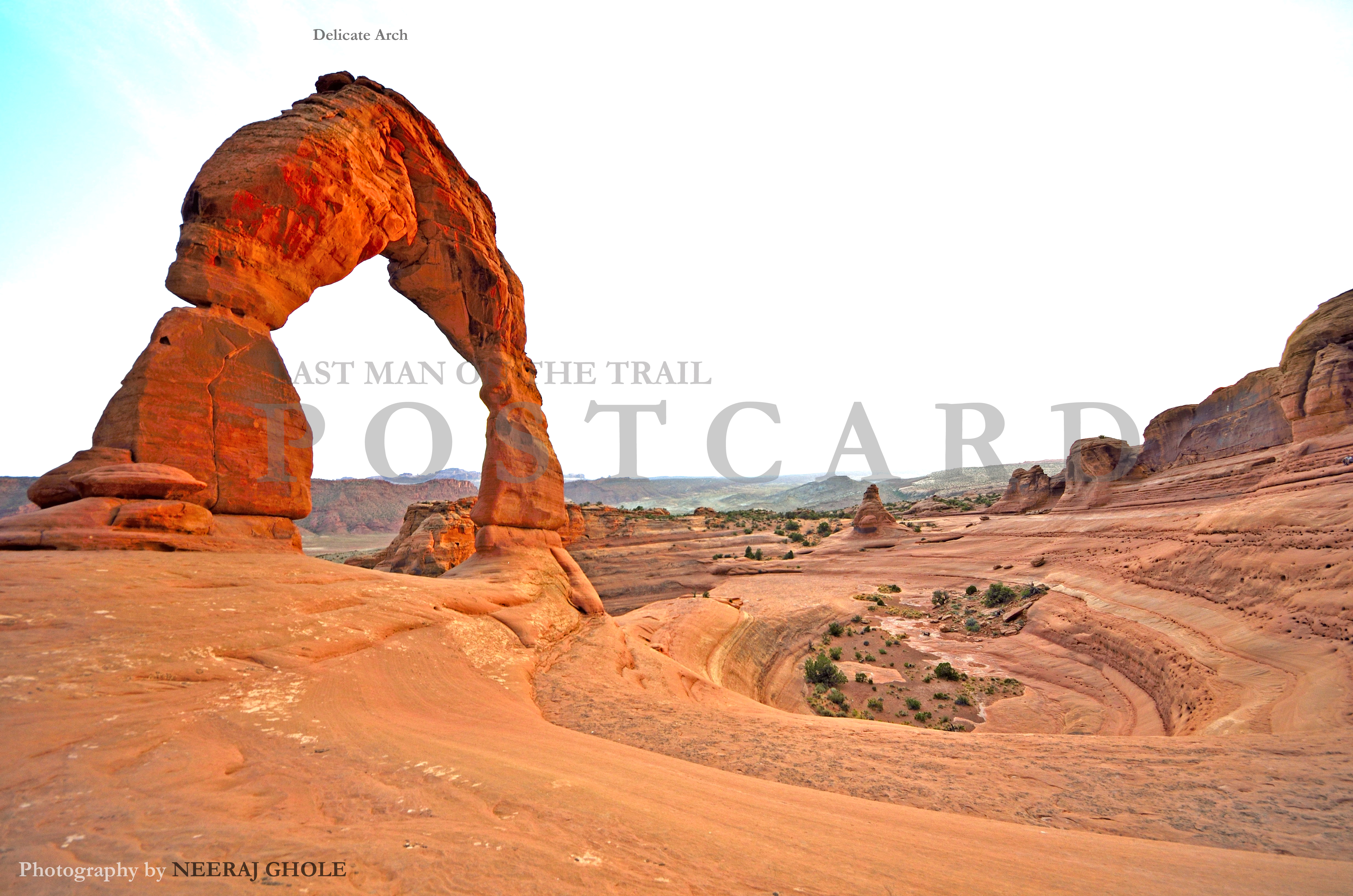
Arches National Park

Park Avenue in the Arches National Park (Above) and (Below)

Mountain biking somewhere outside Arches National Park. The ride back to the town of Moab was mostly downhill with very little effort to actually pedal.

Delicate Arch is situated at an elevation gain of about 480 ft and around 1.5 miles from the parking lot. But worth every bit of your time.
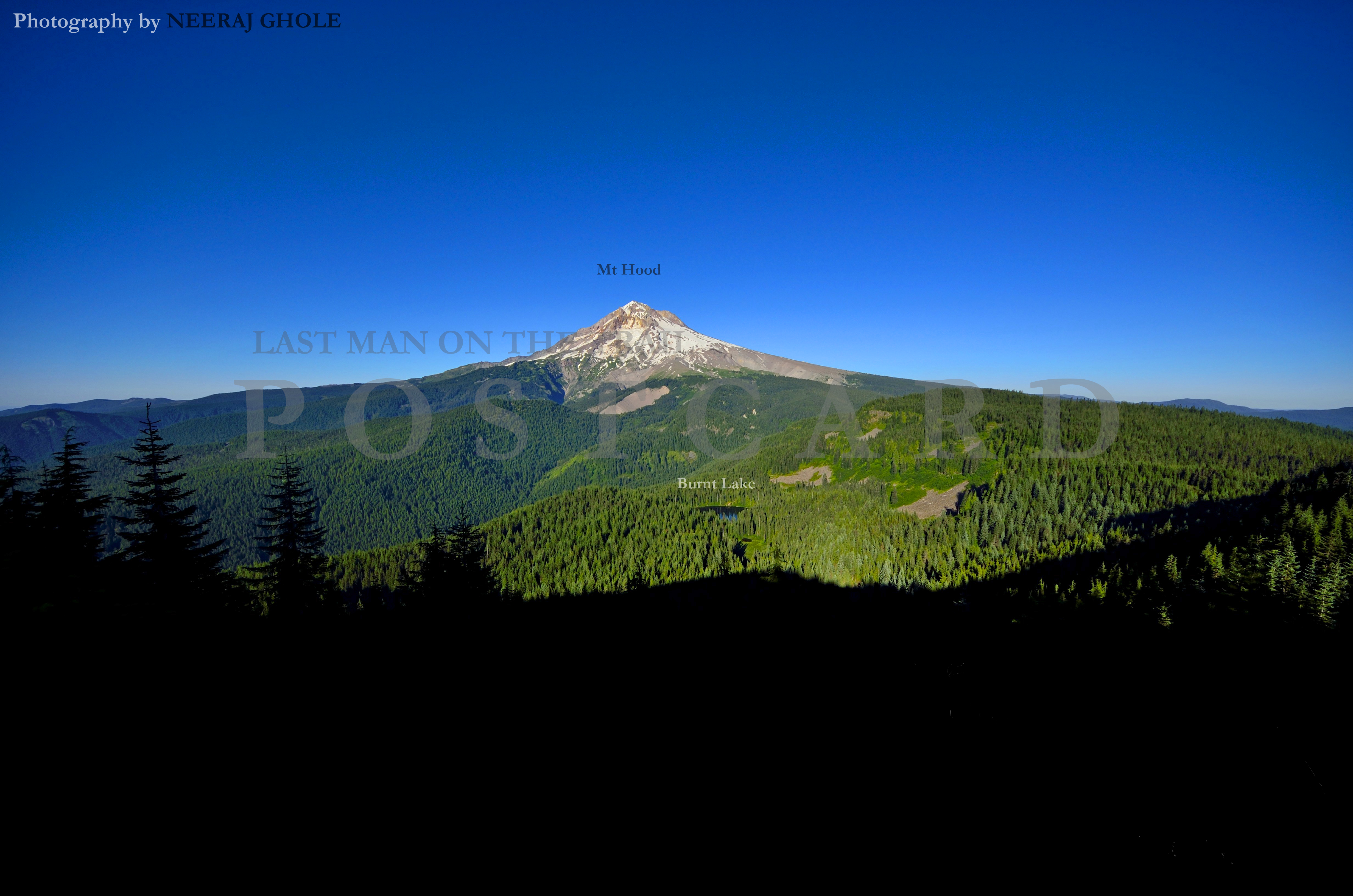
East ZigZag Hike

A decently rewarding workout awaits in the name of the East Zigzag hike with around 2300 ft to gain in elevation in rougly 4.7 miles. Add another 0.5 mile should you need to park further down from the North Burnt Lake trailhead due to dicey road conditions. It took me around 120 mins to reach the summit (times may vary).

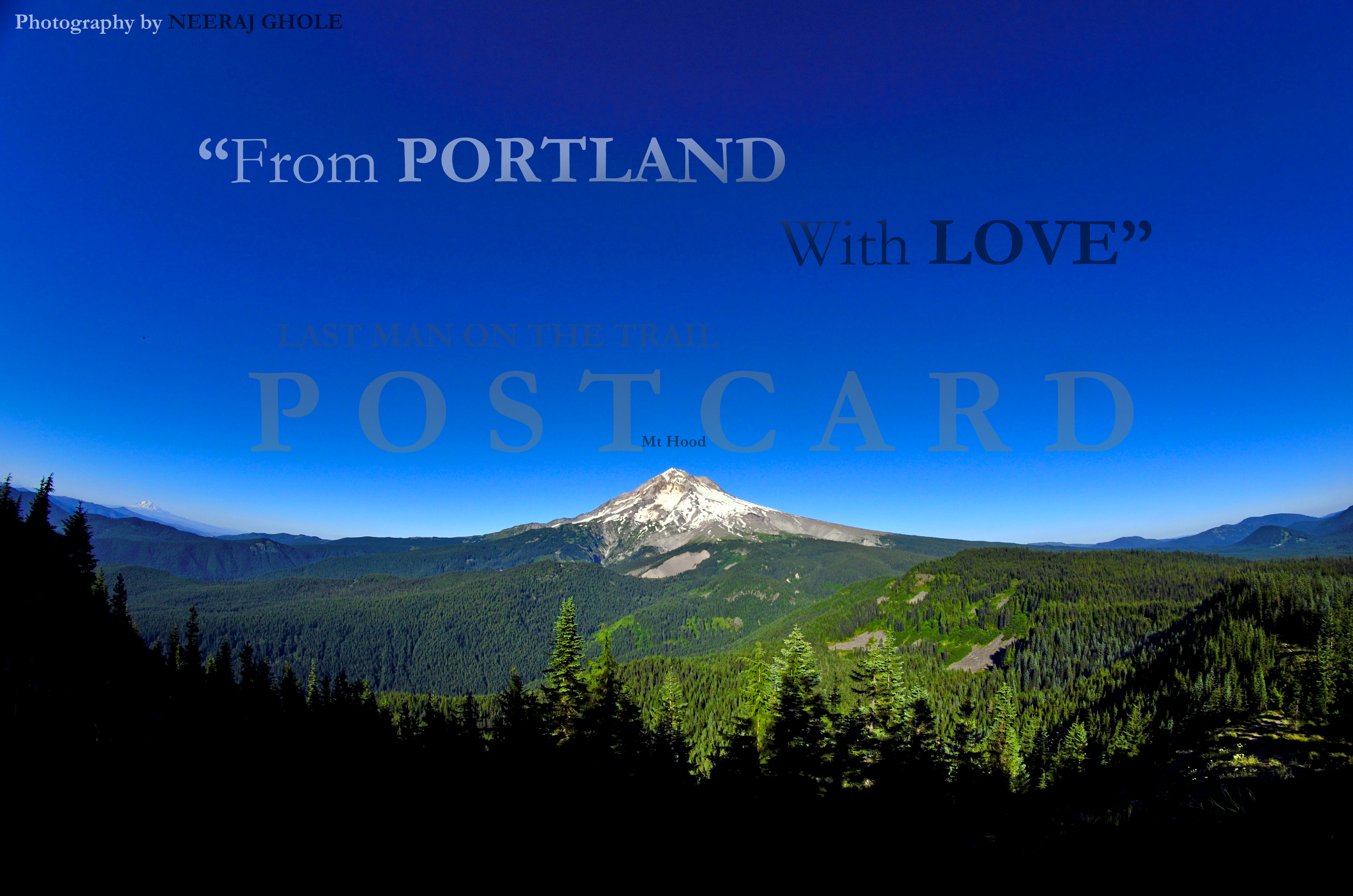
Looking eastwards towards the west face of Mt Hood.
Portland loves you :))).
Google “Silcox Hut” to know more.

St Helens Ape Canyon Hike
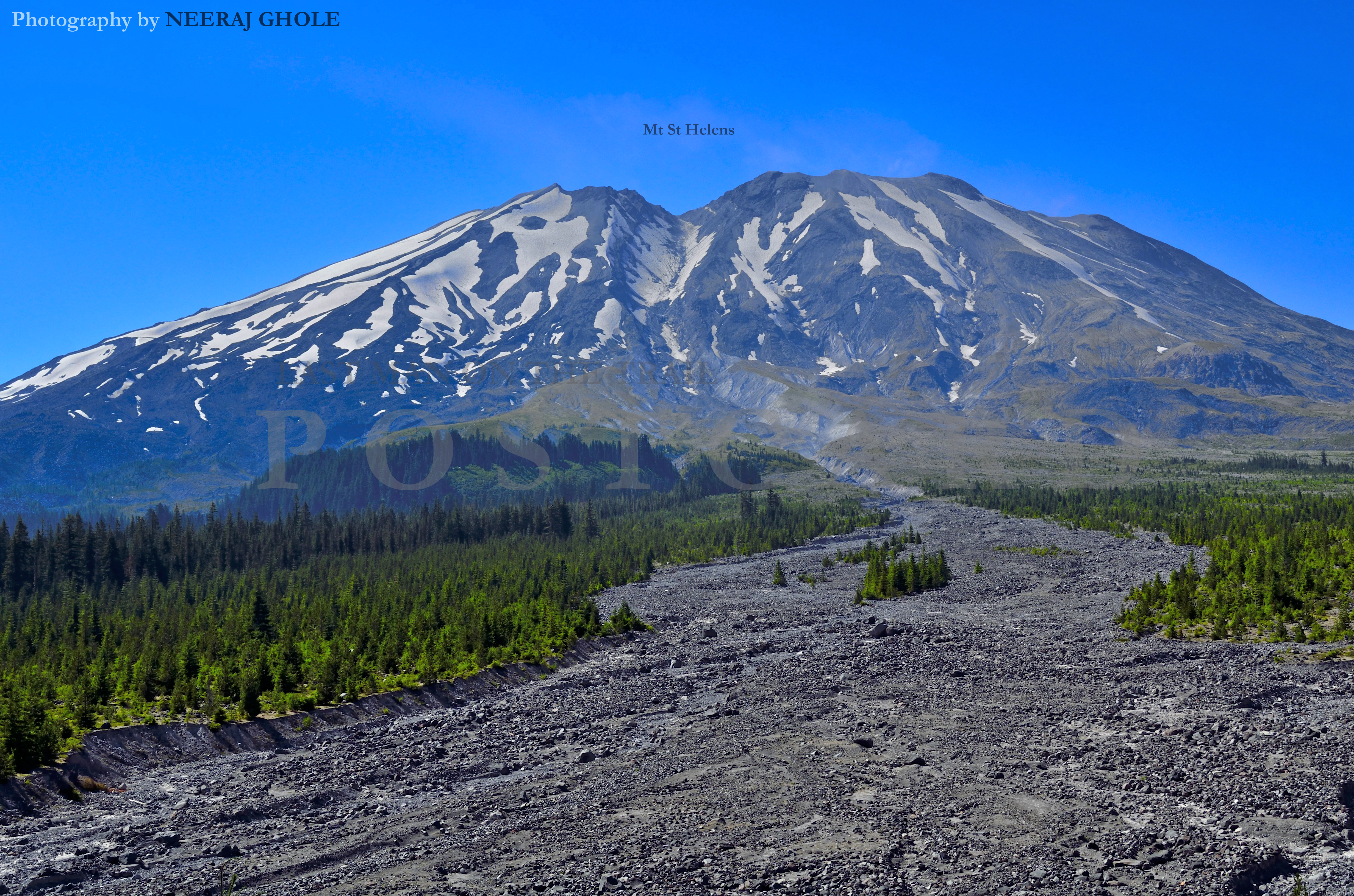
I am confused about the elevation gain for this hike as my altimeter often gave faulty reading on this trail. I believe the net elevation gain should be around 1000-1200 ft, however the cumulative gain could be in excess of 1600 ft. At around 5 miles into the hike, you reach the Loowit trail junction and the trail continues in both directions (left and right) to possibly circle the mountain upto Windy Ridge (to the right).
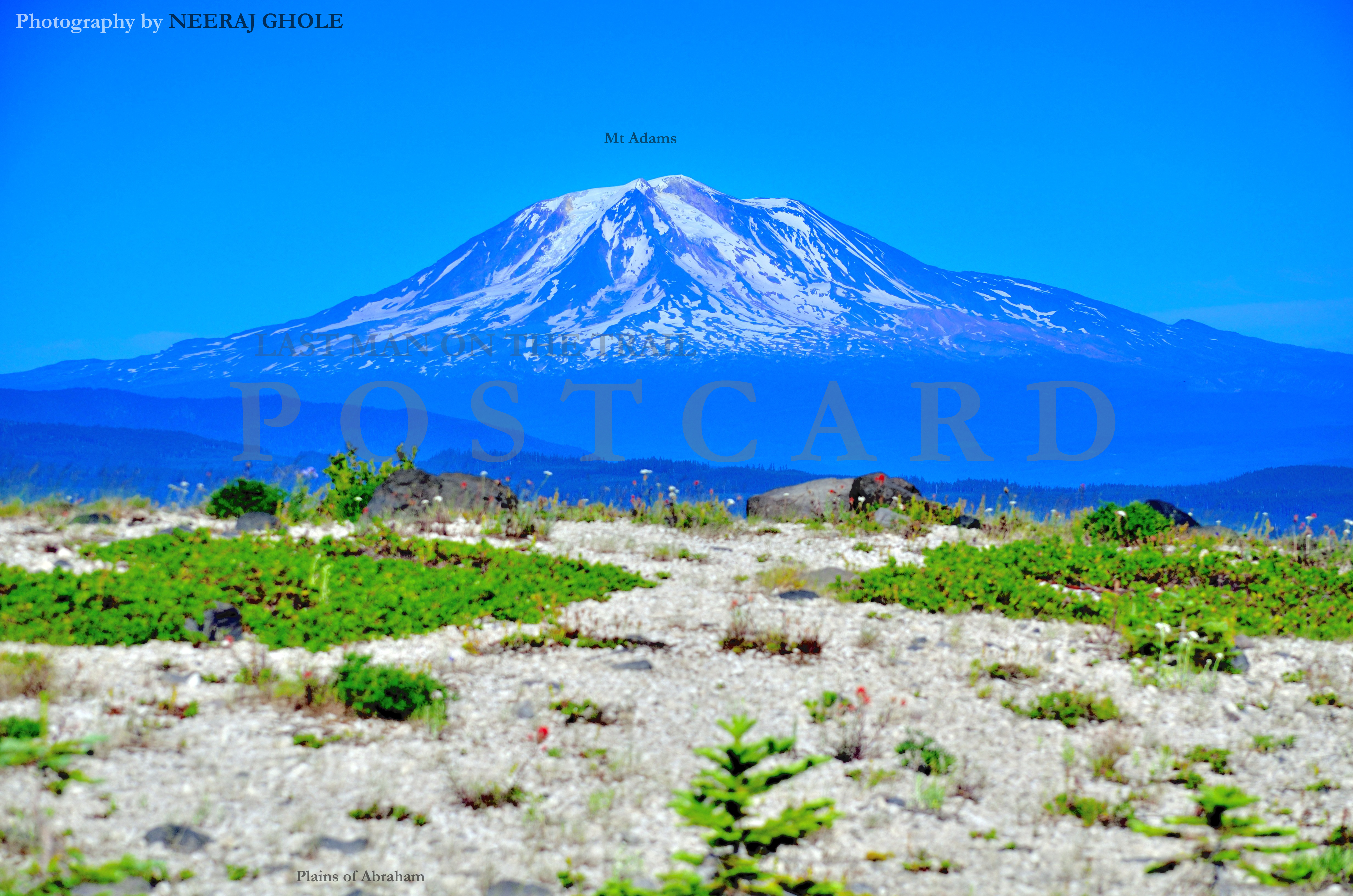
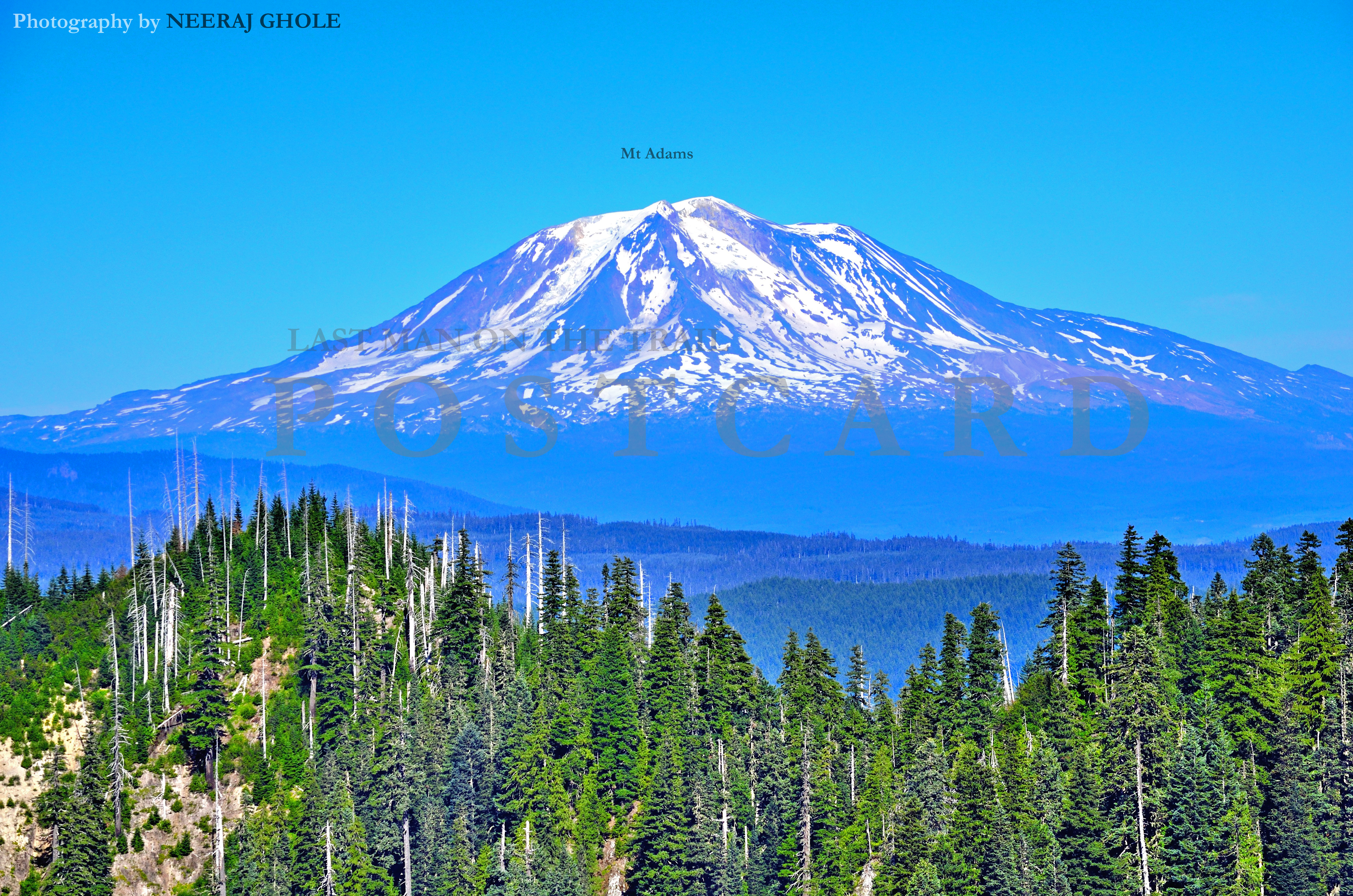
Mt Adams upclose from the Ape Canyon. It takes around 90-120 mins (times may vary) to cover the distance. I won’t recommend this as a day hike, only if you want a decent trail to mountain bike.
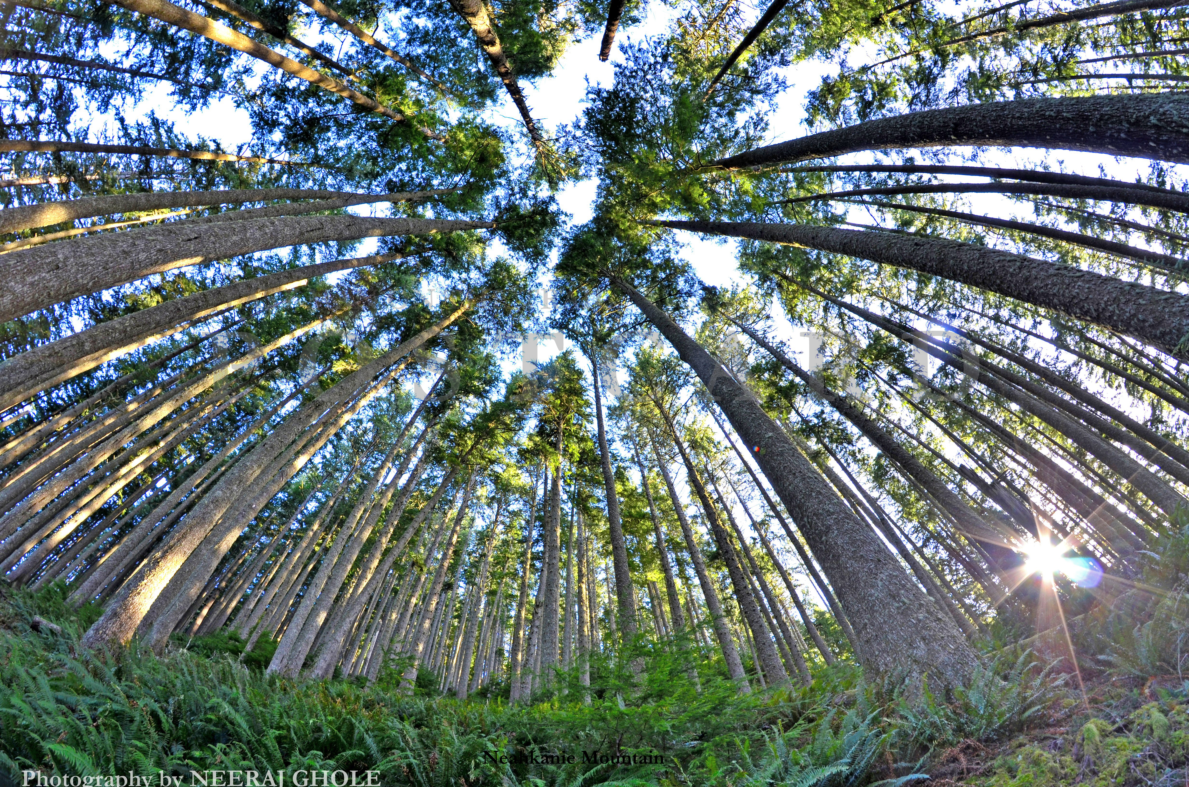
Neahkanie Mountain Hike

Set along US 101 coastal highway is the Neahkanie Mountain loop hike (North & South Neahkanie trailheads). The North trail is longer than the South with a total one-way length of 2.7 miles and an elevation gain of around 1450 feet to the highest trail-able point on the mountain. Alternatively the South trail gains around 850 feet in some 1.6 miles. It is an easy hike which may take anywhere between 60 mins to 120 mins (times may vary) to reach the so-called high point. Note the high point is easy to miss and before you know you will be on your way down the other side.

The views are great subject to fog, clouds or simply the time of the day. These pictures were taken in January 2013.
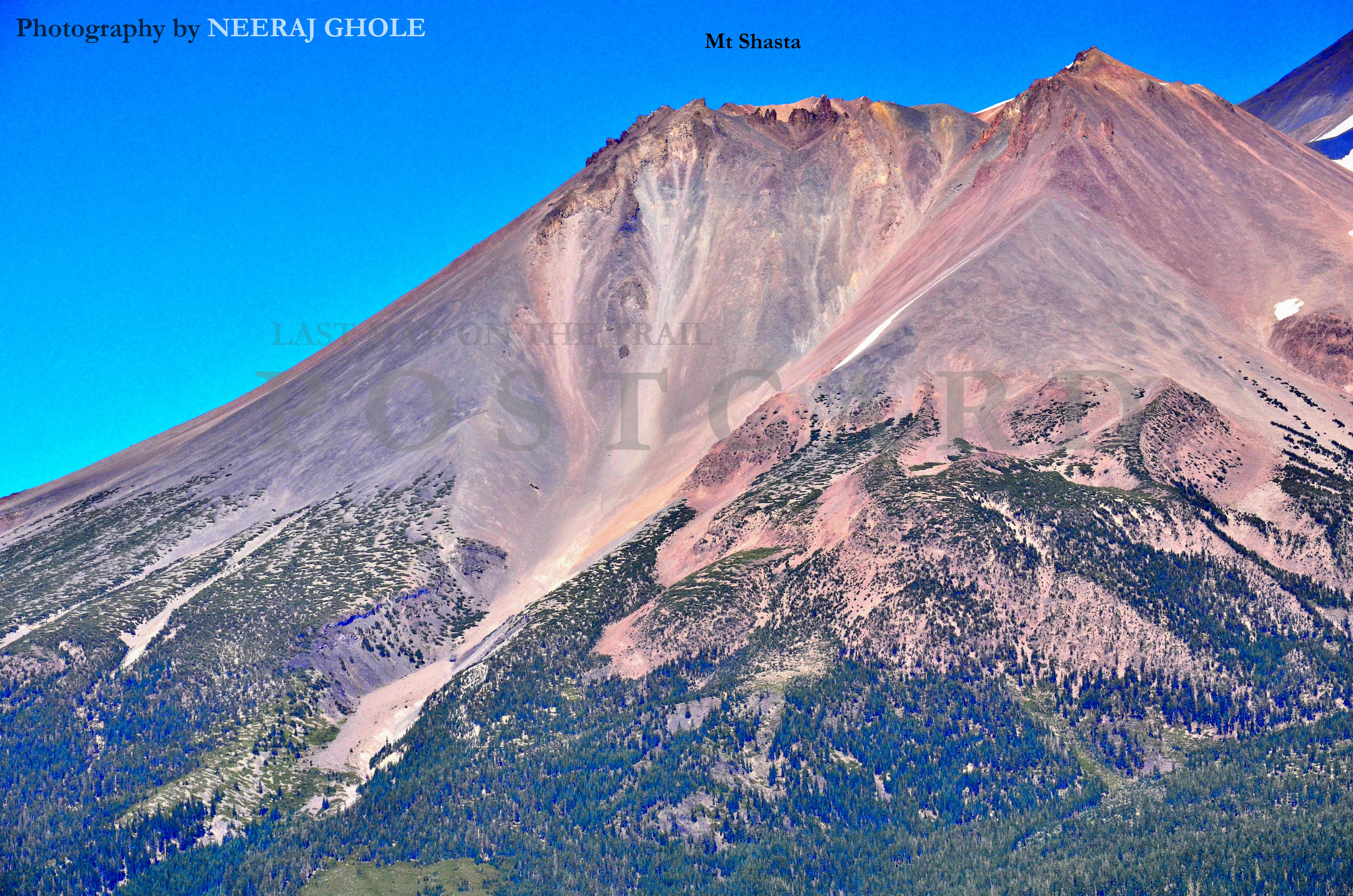
Black Butte Hike

Just north of the town of Mt Shasta is an opportunity for a great work out with some of the most stunning views of the 14K+ feet mountain. Black butte offers an elevation gain of 1800 feet in some 2.4 miles and one of the more rocky trails to hike. It shouldn’t take you more than 75-90 mins (times may vary) if you are fit and hike often. And black butte isn’t really black 🙂
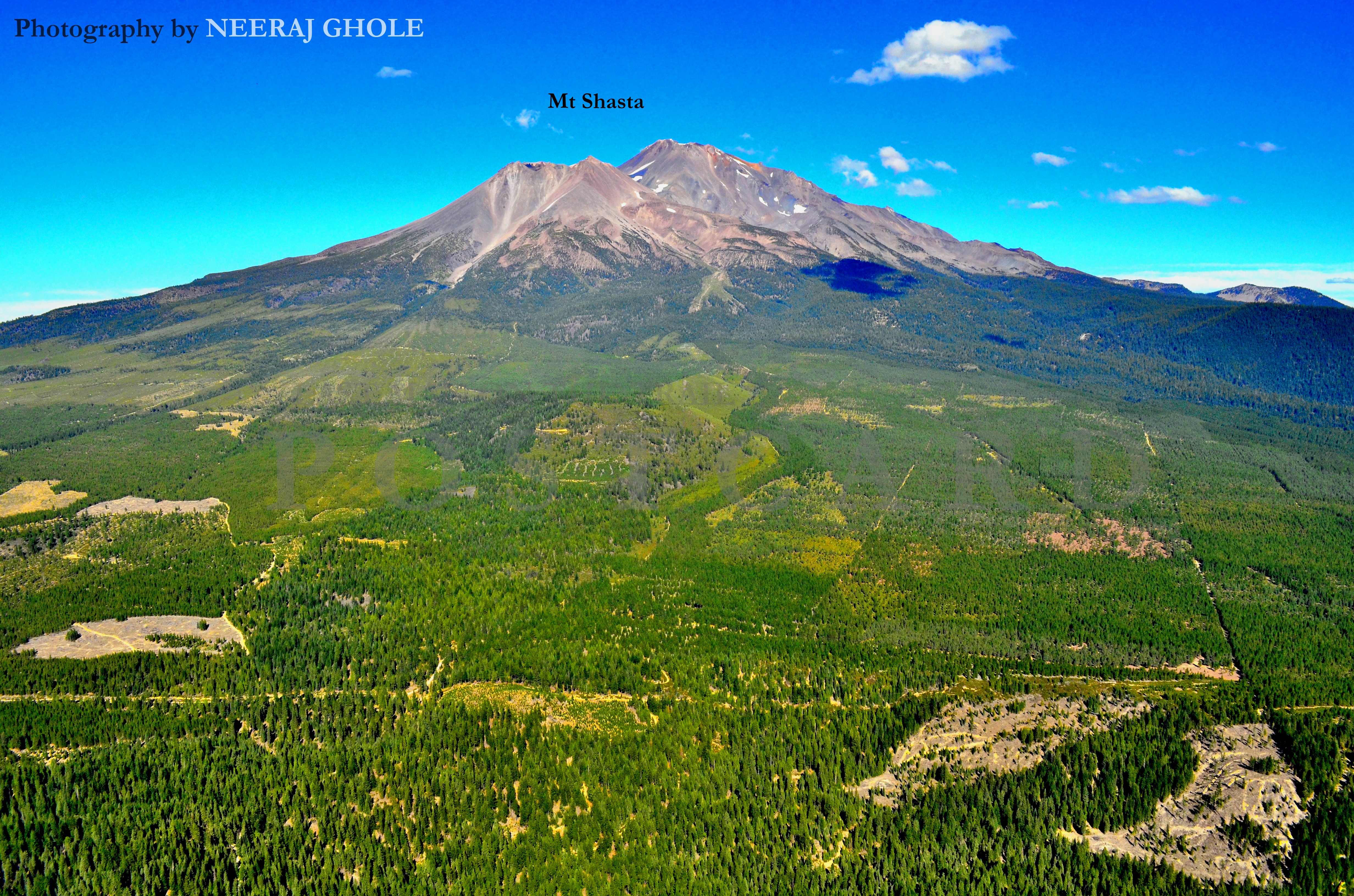
This was short in September, past the peak of summer. Notice that bald peaks (serious sign of global warming?).

Close-up of the west face.
Ross Dam Hike

The short hike starts from milepost 134 on highway 20 and descends around 500 ft of elevation in 1.5 miles. The trail is well maintained and should take no more than 30 mins for an average hiker (times may vary). Recommended season is early thru late summer. The Ross Dam offers yet another short hike to the Ross Lake Resort which can be seen at a distance from the dam and the Ross Lake Resort ferry launch.

Colonial Peak and Pyramid Peak stand out across the range from Ross Dam.

Timberline Lodge Alpine Hike

Timberline Lodge alpine hike offers a 1000 feet elevation gain over 2 miles in 45-60 mins (times may vary). I wouldn’t recommend this hike unless you are planning to escape a hot day in summer (temperature and humidity at this elevation is generally lower). But the Timberline lodge itself is worth a visit and also offers some exciting Ski runs in winter. Also research “magic mile”…
 2015 Update: